Roadbed measurement robot
Digital construction experts

Irregular self circle, no moment but square
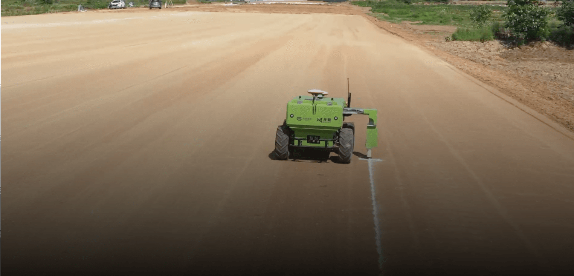
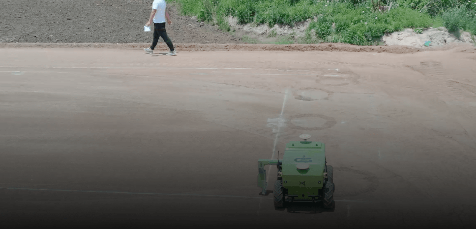
Wuju is an intelligent measurement robot that can automatically measure, mark, and draw lines on roads. It mainly serves the edge piles, center piles, elevation control involved in roadbed construction filling and excavation, precise leveling, pipe culvert excavation and other measurement and layout processes. Through efficient and accurate measurement and layout, it improves overall construction efficiency and quality.
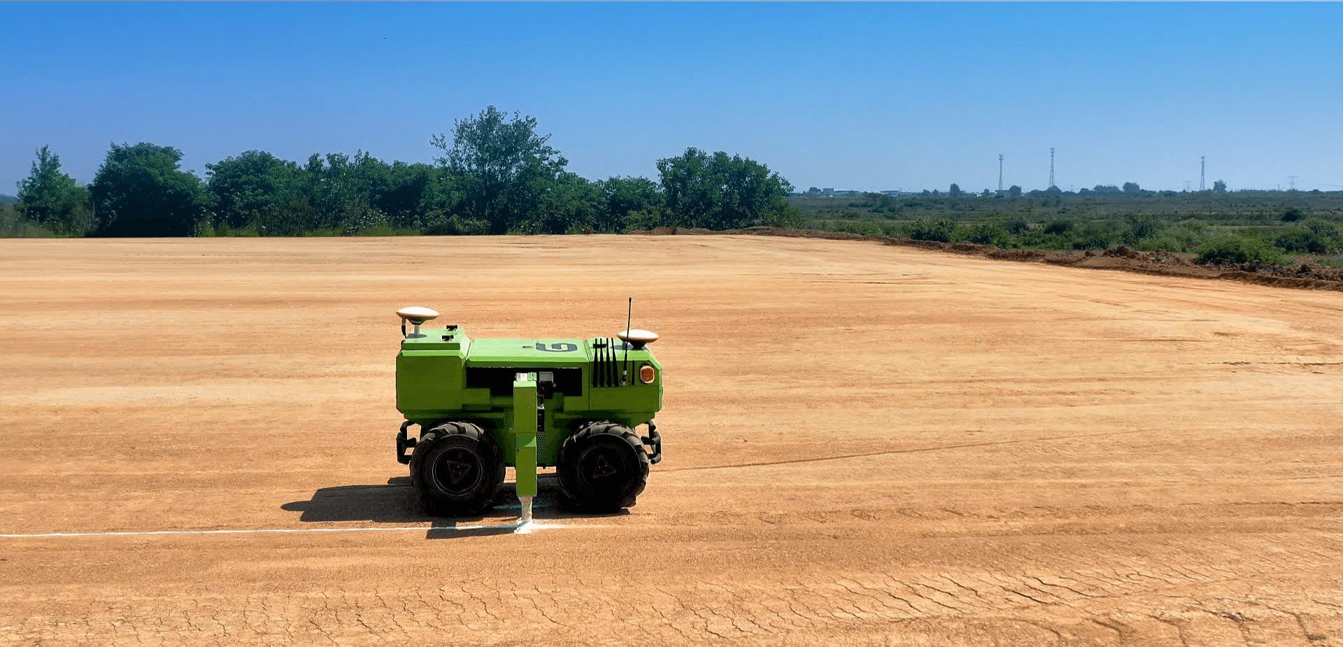
 Pipe culvert stakeout
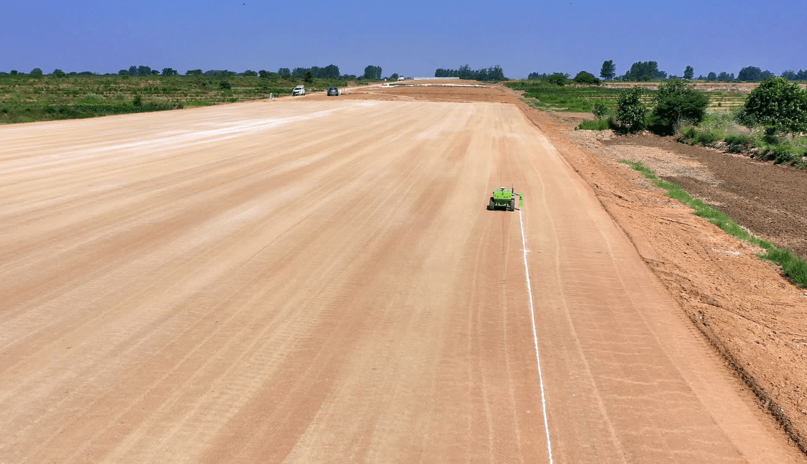 sideline stakeout
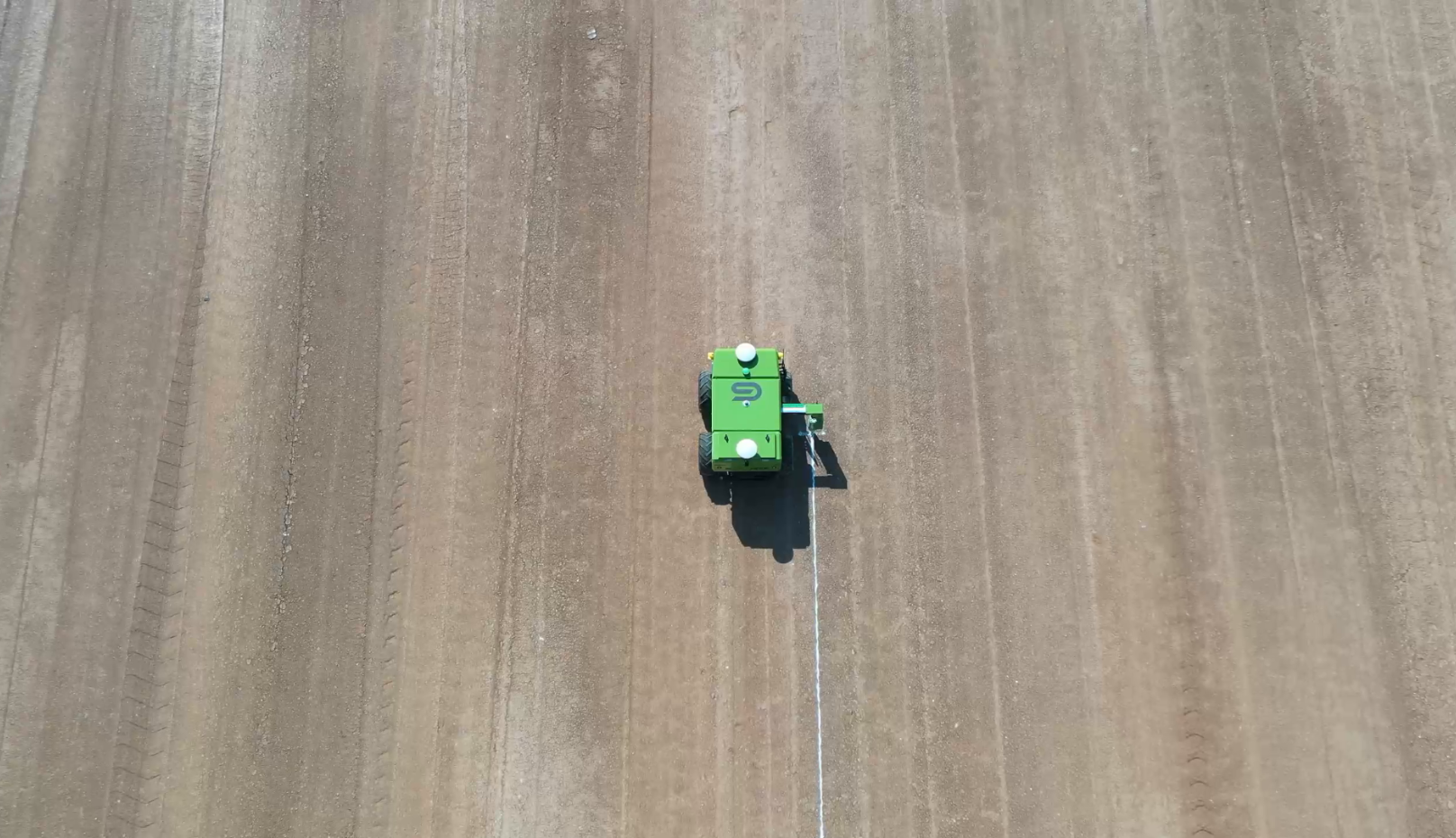 center line stakeout
 station mark
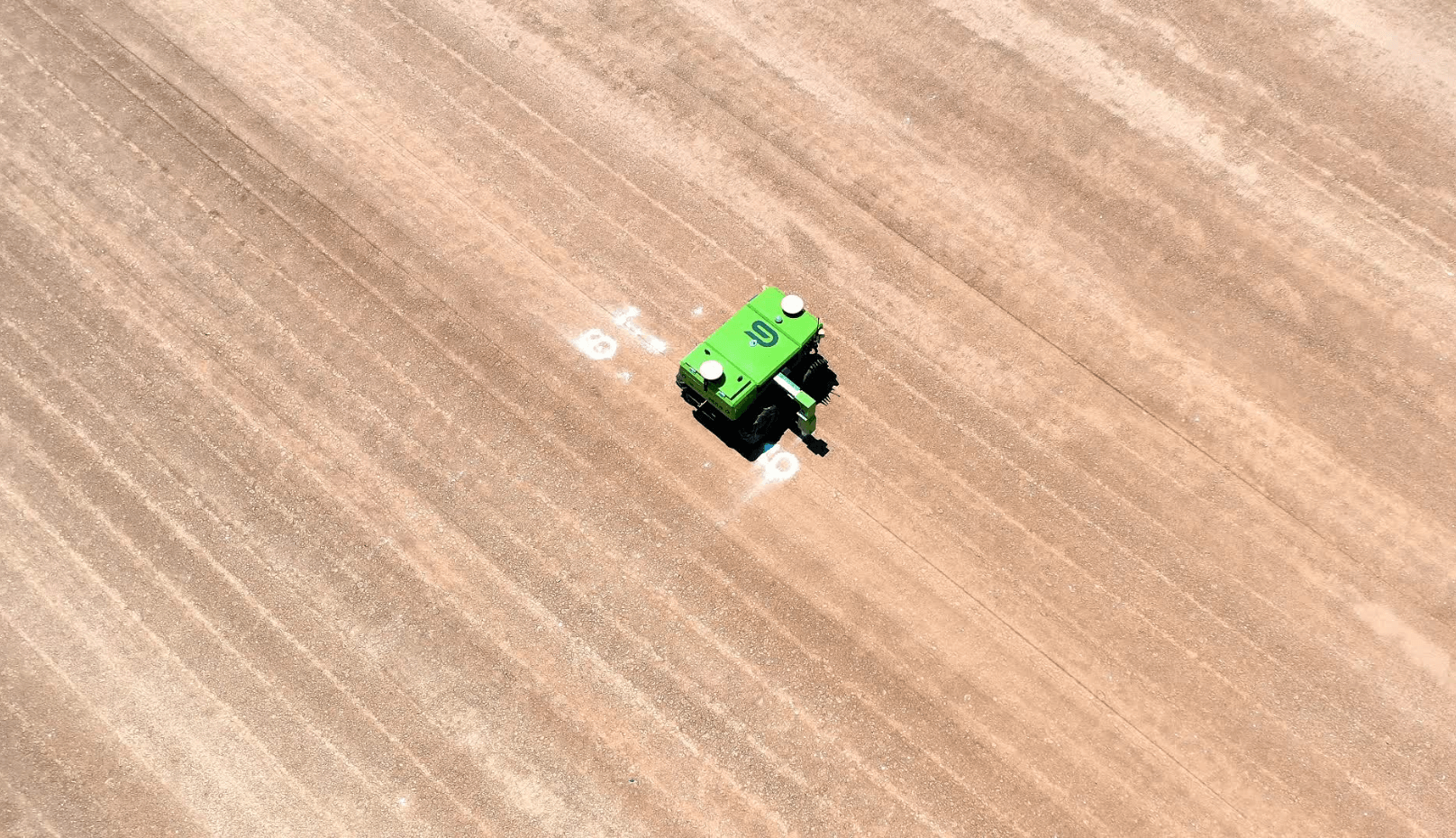 Copy flat
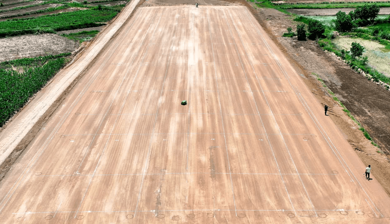 Standard Grid


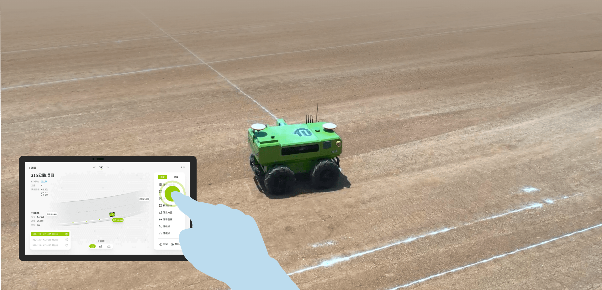
Product series
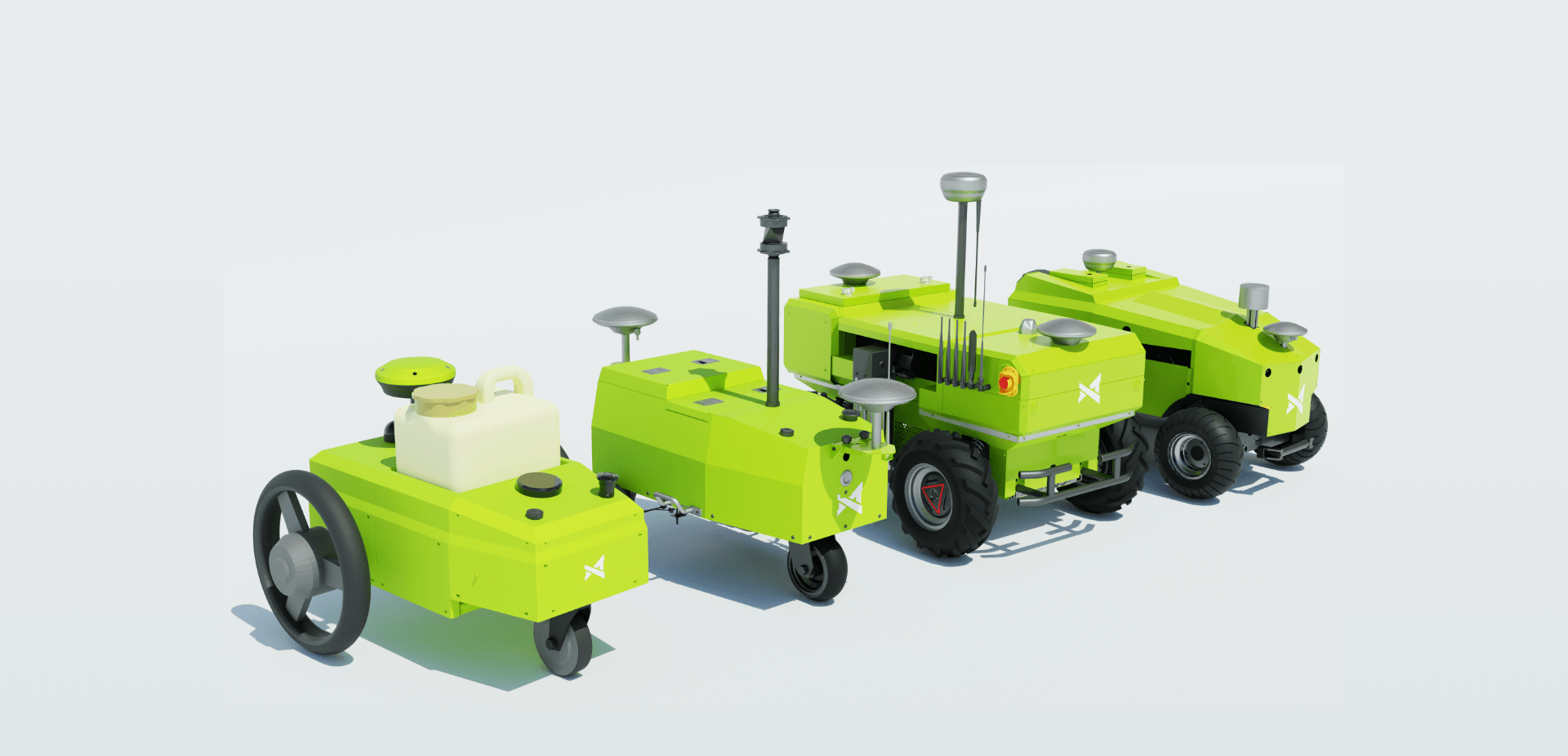
Fully automated completion of complex measurement tasks
Edge line layout, centerline layout, earthwork grid layout, pipe culvert excavation line layout, measurement of cross-section, measurement of earthwork volume, measurement of center pile elevation, and accurate leveling
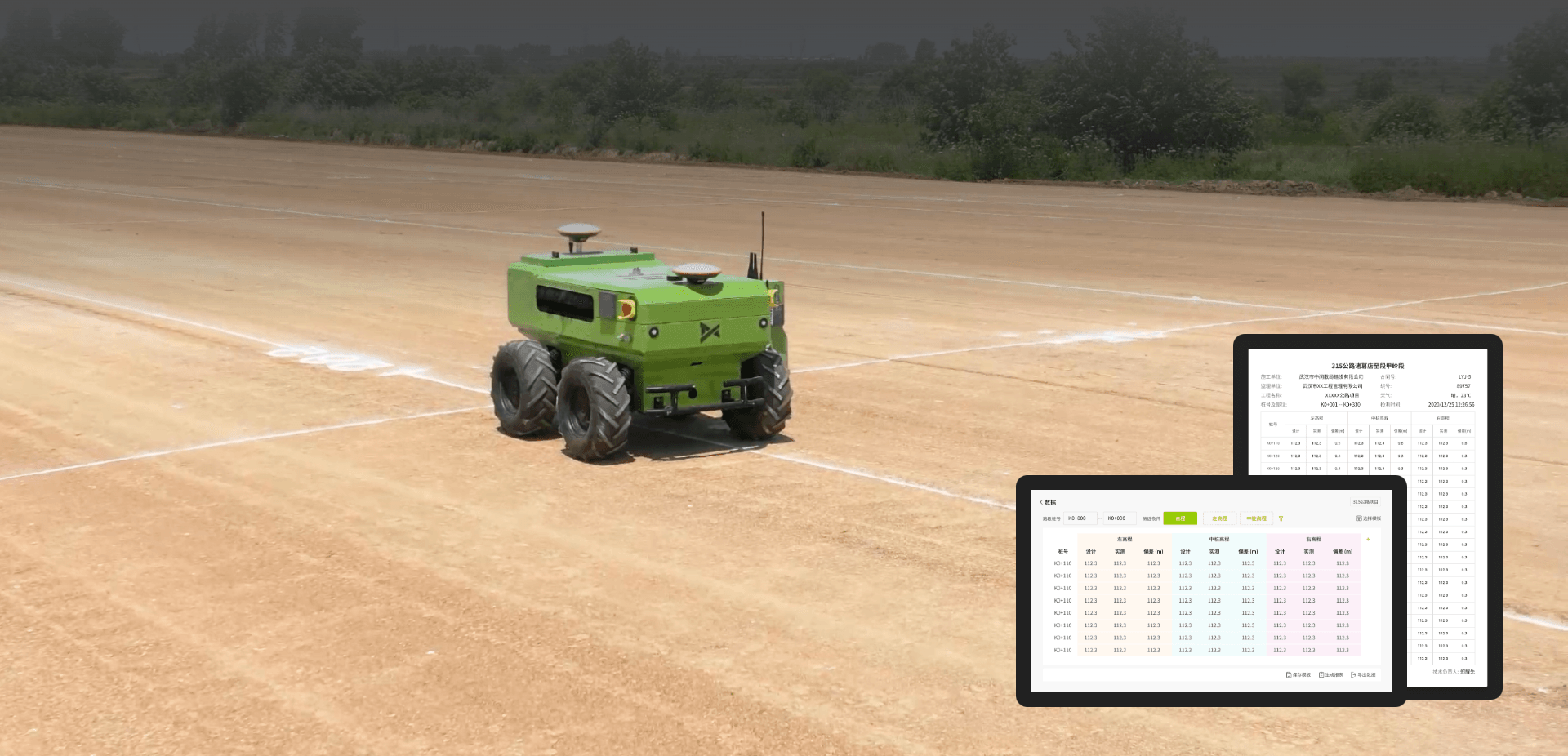
Digital drawings
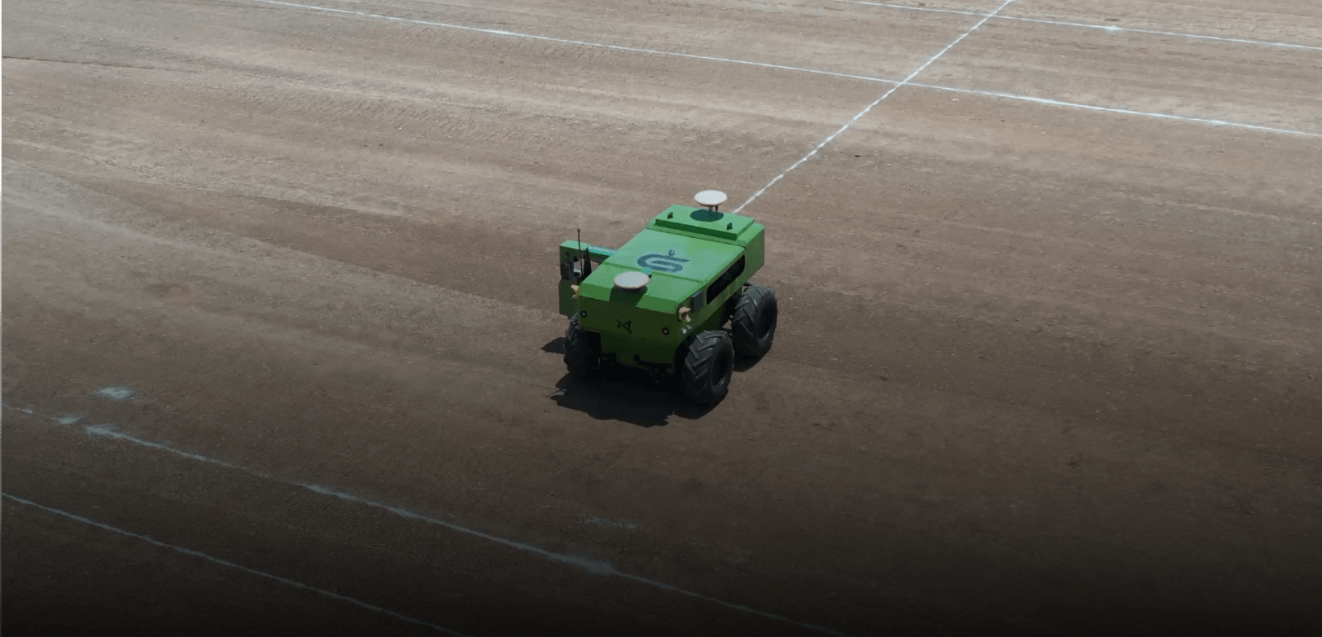
No torque can adapt to complex terrains, integrate diverse measurement functions, equipped with large capacity batteries and bins, capable of high-precision positioning, intelligent navigation, and autonomous planning,It is a master of drawing lines and an efficient measuring tool in highway construction, and a trustworthy construction drawing printer for engineers
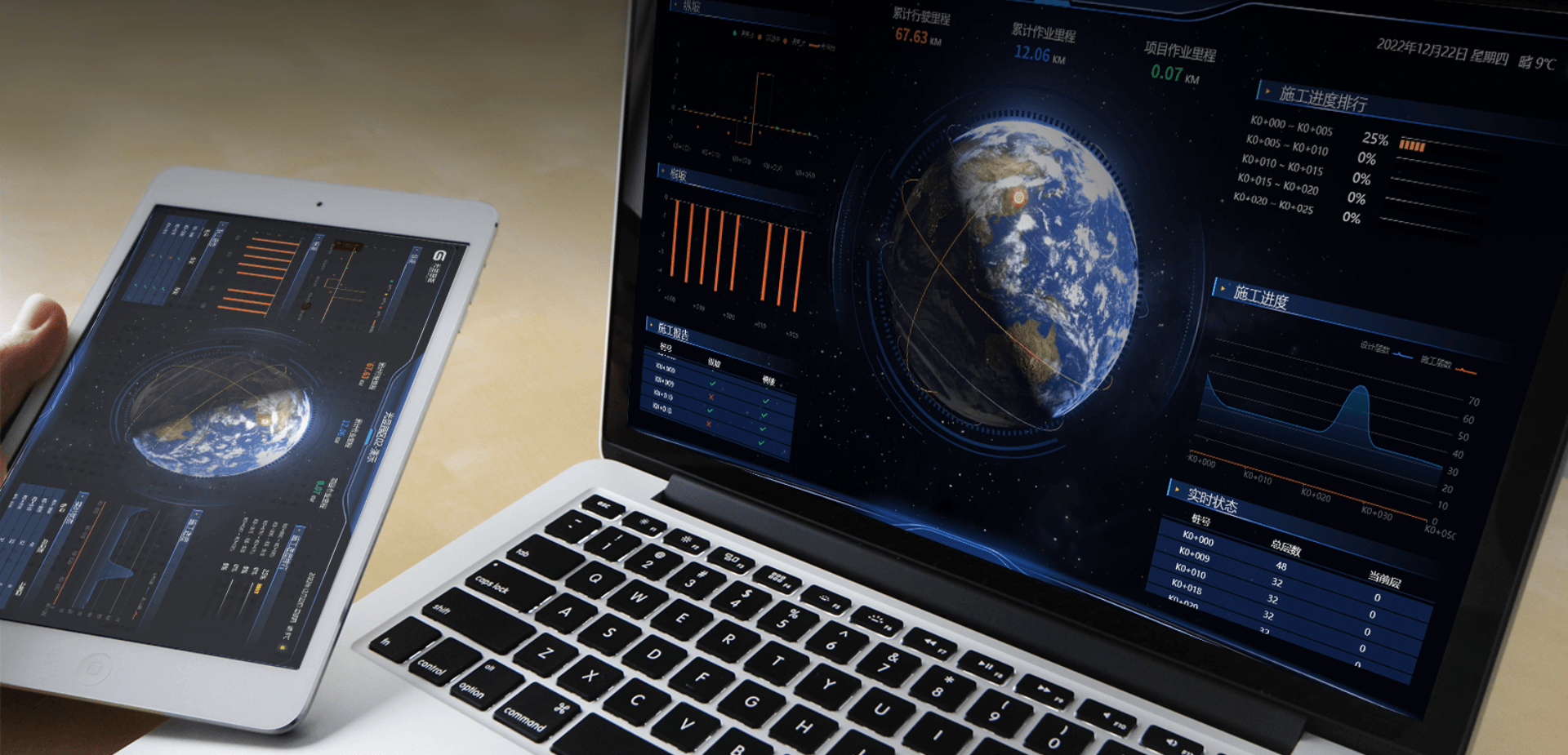
Big Data Analysis
AI intelligent engine, real-time analysis of project progress and quality, assisting project decision-making
Intelligent obstacle avoidance
Danger zone identification, edge identification, autonomous vehicle and obstacle avoidance
Path Planning
Multi-tasks, multi-destination, multi-path independent planning of optimal routes
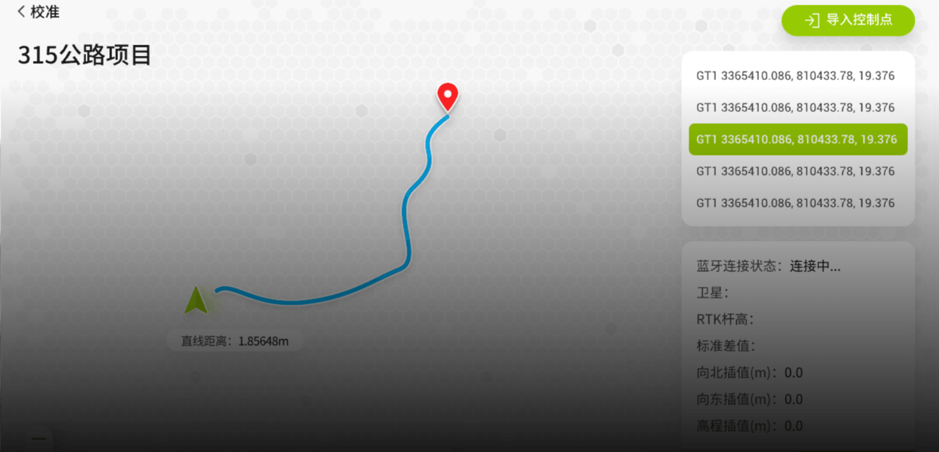
Quick location selection
Supports map point selection, station numbers, point selection, and one-click selection of frequently used locations
Remote control
Remote control operation through 5G, remote control supported in emergencies

